When it’s time to make your way through town during rush hour traffic or head off on a road trip, which mapping app do you use? Back in the day, I’d say Google Maps, but these days my first choice is Apple’s pack-in.
Apple Maps Is Good Now
Despite its rocky start, Apple Maps has been good for a while now. It’s packed with features that make it easy to do things like find where you parked, quickly navigate to saved locations, and add multiple stops to your trips.
Perhaps most importantly, I trust Apple Maps to be accurate. I’ve used it for city, regional, and rural driving here in Australia for a number of years, and it’s not let me down. I used it to navigate from Melbourne to Brisbane on a month-long road trip, and I lived to tell the tale.
I recall one time when the expected arrival time of a trip was off by a significant margin (a few hours) because Apple Maps had incorporated walking directions into the route rather than simply routing me to the car park. That’s about the worst thing I’ve seen.
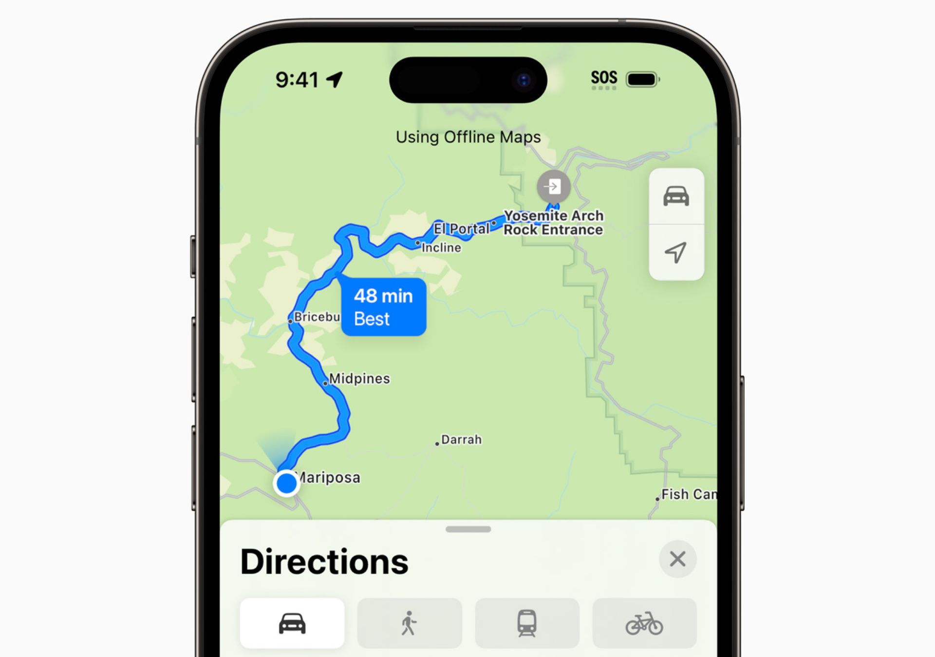
On top of this, I can download offline maps easily and I trust the app to keep it up to date. This is really handy when heading out to rural spots that lack cellular reception (though I also keep MAPS.ME installed specifically for hiking purposes).
I Prefer the Apple Maps Look
My preference for Apple Maps can be reduced to one very simple argument: I just prefer the way it looks. There’s nothing particularly bad about Google Maps, but there’s something about Apple’s color palette, map design, and fonts that do it for me.
It’s subjective and personal, and I wouldn’t blame anyone else for thinking the opposite. Sometimes you just prefer the look of one thing over another, and that’s ok.
One thing I find is superior is the Apple Maps traffic view, where Google seems to overdo it by marking roads in green when traffic is moving normally, Apple Maps only adds splashes of yellows and reds to denote slow-moving or gridlocked traffic.
Superior Street View and Photogrammetry
This is another point that’s going to largely depend on where you live and how well serviced you are by either Maps solution, but Apple Maps seems to be better in terms of street view imagery and photogrammetry where I live (in Brisbane, Australia).
I’m not sure why Apple has put so much effort into capturing high-quality street view imagery of Australian capital cities, but I’m not complaining. There’s a particular 3D “spatial” look to Apple’s solution that adds a parallax effect, separating foreground objects (like road signs) from the background when you pan around.
I’m left thinking Apple Maps would probably look really good on a real 3D screen, like that of the Apple Vision Pro. But even when I’m dragging around with my finger, I’m left feeling impressed. Unfortunately, Apple is still relatively new to the street view game and so hasn’t got the historical street view data that Google has (so you can’t time travel with Apple Maps).
The same is also true of photogrammetry, where images are used to create a 3D view. Google has 3D models for Brisbane, but it doesn’t have the flyover-style photogrammetry that Apple added in 2024. Is it a gimmick? Maybe. But I still think it looks great.
I wouldn’t blame you for picking Google if Apple has neglected your neck of the woods, though.
Public Transport Is Fully Integrated
Something else Google Maps does that Apple Maps can match is public transport integration. All three pillars of the public transport network where I live (buses, trains, and ferries) are integrated into the map. I can tap on a stop, see which routes are serviced, view the route on a map, and find out how long I need to wait.
I’ll even get information about delays and service updates. This is a big deal for me, as I can time leaving the house with the next train or ferry without dealing with the official transit app (which leaves a lot to be desired).
CarPlay Integration Is Great
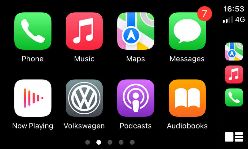
I spend most of my time staring at Apple Maps through my car’s center console, so it’s reassuring to note that CarPlay integration works about as well as could be expected.
Driving with Apple Maps is a dependable experience. I leave all but vital audio alerts off so that when CarPlay barks an instruction at me, it’s a red light or speed camera warning in Siri’s familiar voice. I find Google’s voice assistant to be a little jarring by comparison, but it’s probably a matter of familiarity.
Speaking of driving information, these alerts are surprisingly dependable. As anyone who lives in a car-clogged-city can attest, there’s not always an awful lot you can do about congestion and I’ve often checked both Google and Apple only to see they both recommend I take the same route during a nightmare traffic scenario.
Under CarPlay settings I can force Dark Mode maps all the time, and favor routes that avoid tolls (both of which Google Maps does too). It’s not that Apple Maps is necessarily better in this regard, but more that I don’t miss out on these features by choosing to use it.
One feature that does make life a little easier is Siri Suggestions, which shows suggested routes when I get into the car at a specific time or day. These are mostly accurate, but it takes some time for Siri to learn your routines. Tap a suggested route on the CarPlay home screen and Maps will take you there.
The Mac App Is Surprisingly Great
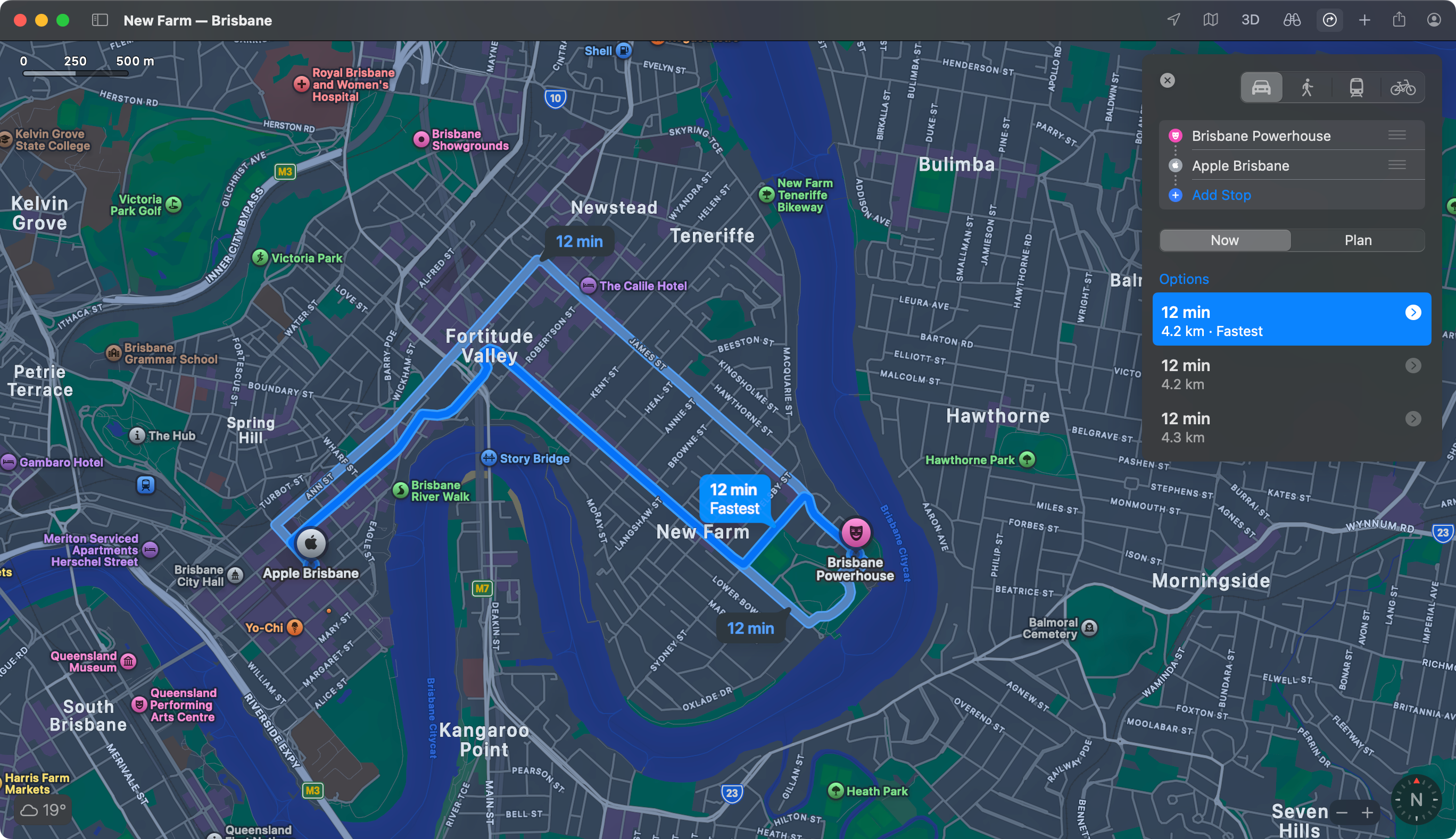
As someone who taps away on a MacBook all day long, one of my favorite ways of interacting with Maps is using the native macOS app. Even without a touchscreen, it’s easy to quickly create a route, look up areas, check traffic, and work out a public transport plan.
Apple Maps for Mac is visually pleasing and performs better than a browser alternative normally would. It’s also easy to plan a complicated multi-stop trip on your Mac and then hit File > Send to Device and pick your iPhone. You’ll get a notification that you can tap and instantly navigate.
Maps detects “pending” routes in CarPlay, so if I look up a route before leaving it’s waiting right there for me when I get in the car. Maps even works nicely with my Apple Watch, if I happen to be cycling or walking and need taps and arrows to help me find my way (personally, I prefer mounting my iPhone in the middle of my handlebars).
I Still Keep Google Maps Installed
Thankfully, you don’t need to choose between Apple and Google Maps. You can use both, and sometimes that’s exactly what I do. There’s no arguing with the fact that Google has a far greater directory of retailers, services, and other amenities.
If I’m looking for a specific business or turning to an app for discovery, Google Maps is the logical choice since the company ties its navigational tool to its business directory. This includes things like up-to-date opening hours, reviews, and even menus for restaurants.
Google also has better cycling directions where I live, with a dedicated “Cycling” view that outlines shared and dedicated routes in green and dark green. Apple Maps can route you by bike too, but it’s less reliable and I’m not taking that chance.
There is one thing that I’d love Apple Maps to integrate from Google Maps, though: a GPS speedometer in CarPlay view.
There’s no “right answer” here, the best navigation app is the one you prefer. Hopefully, Google and Apple continue to fight among themselves to improve their apps, and we’ll all benefit along the way.


