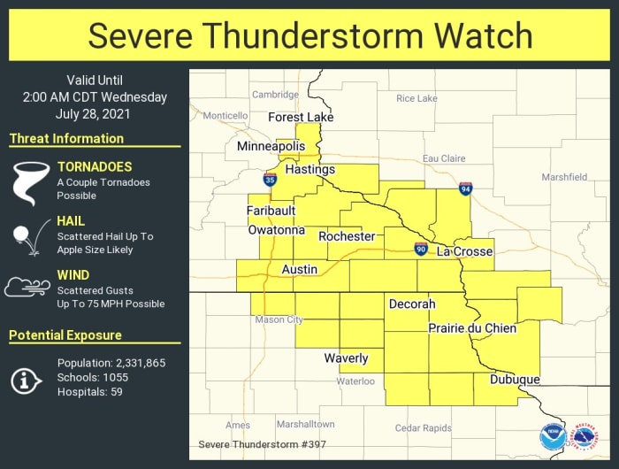
A severe thunderstorm watch has been issued in southeastern Minnesota, southwest Wisconsin and northeast Iowa, and is in effect until 2 a.m. Wednesday.
Isolated supercells are expected to develop. Where they do pop, they will be capable of dumping very large hail up to 3 inches in diameter (the size of apples), along with damaging winds and isolated significant wind gusts to 75 mph.
Tornadoes are also possible.
Weather is sponsored by All Energy Solar: get a free installation quote now!
“A few supercells should become established across a portion of the Upper Mississippi Valley before developing into a southward-moving cluster this evening,” says the Storm Prediction Center.
Ramsey, Washington and Dakota counties are included in the watch, though the best chance for severe storms is further southeast.
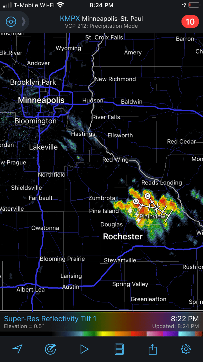
As of this writing, a supercell had developed northeast of Rochester and was moving southeast, growing in intensity.
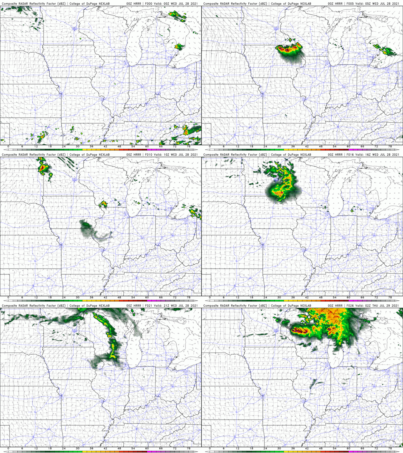
The simulated future radar from the HRRR model shows the Rochester cluster exploded into a line of storms that pushes into Iowa, while other parts of southern Minnesota could be in line for more storms early Wednesday, with a potentially more potent round of storms in eastern Minnesota into Wisconsin on Wednesday evening.


